

Edgware Road London is a Westminster high street between Marble Arch and Marylebone Flyover, with a late-night economy and businesses centred around Middle Eastern food. Its two Underground stations have different lines, and the area connects on foot with Paddington and Marylebone.
- Location: Between Marble Arch and Marylebone Flyover.
- From Pavilion Hotel: Edgware Road station is about a seven-minute walk away.
- Nearby areas: Paddington and Bayswater’s other high streets are within a 20-minute walk of one another.
- Stations: Bakerloo trains use one Edgware Road station; Circle, District and Hammersmith & City trains use the other.
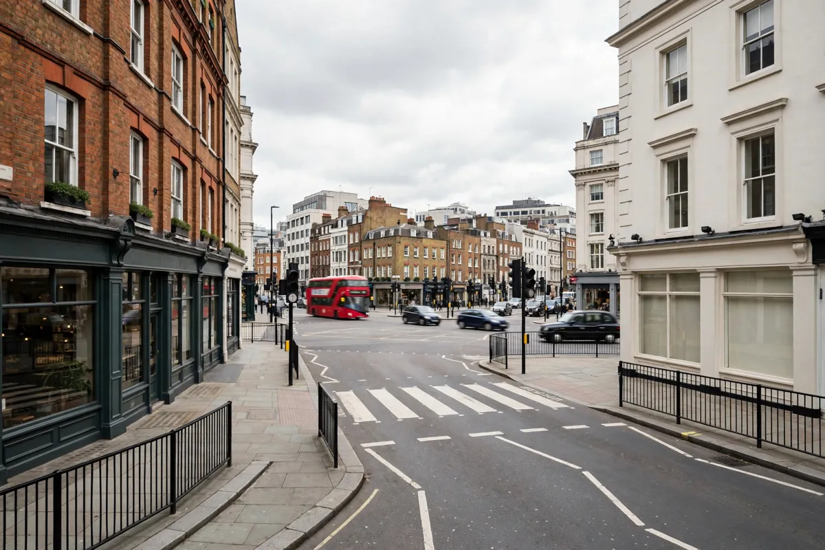
Finding Your Way Around Edgware Road
Edgware Road runs through Westminster between Marble Arch and Marylebone Flyover, and follows the route of Roman Watling Street.
Westminster City Council groups it with Praed Street and Queensway/Westbourne Grove as three interconnected Paddington and Bayswater high-street areas. They are within a 20-minute walk of one another, so you can link a wander along Edgware Road with nearby streets without needing to plan a separate journey.
The street has a late-night economy, with businesses heavily centred around Middle Eastern food.
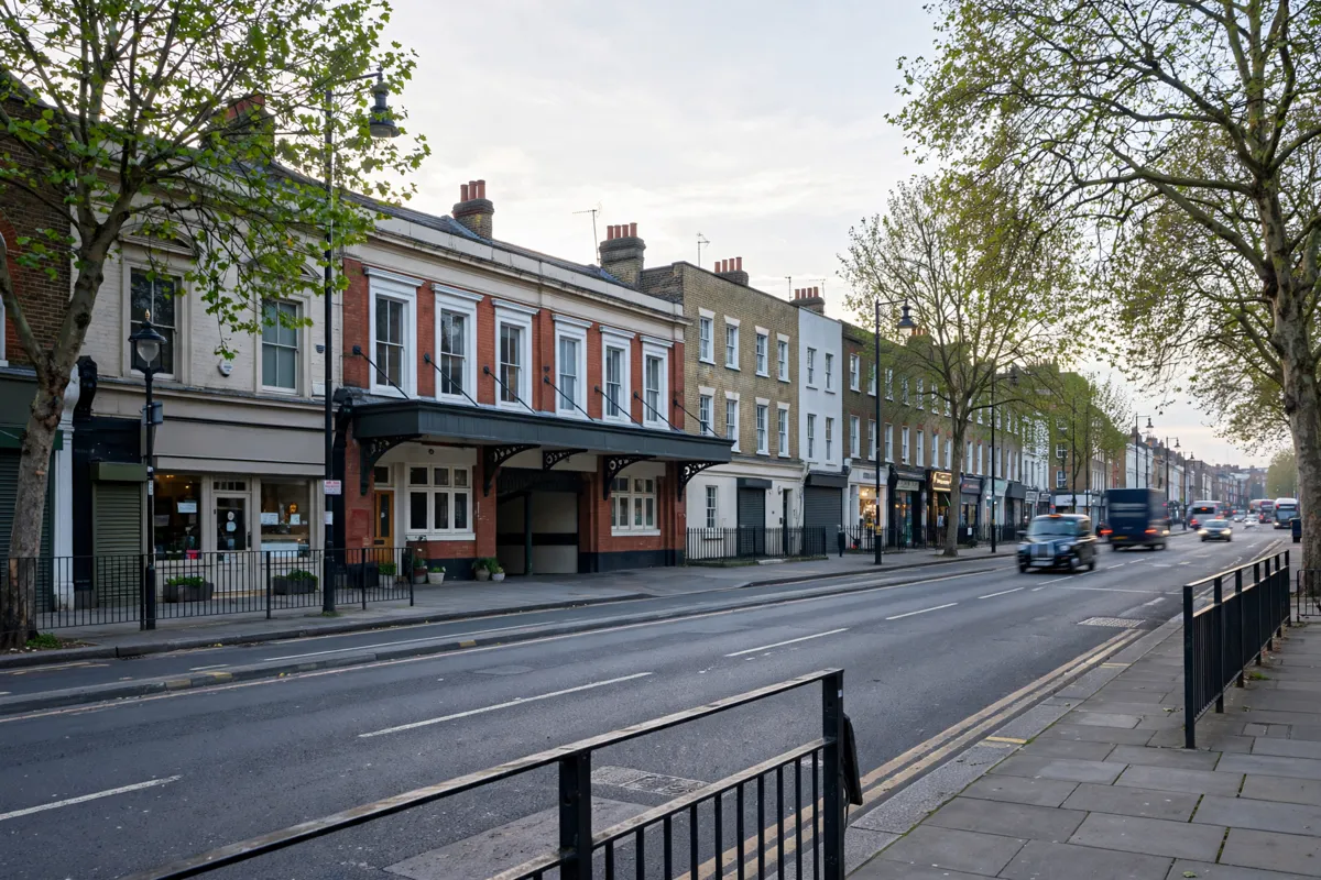
Edgware Road Stations and Connections
Paddington Station provides rail connections beyond the neighbourhood, so it can be useful when planning a journey from Edgware Road; its station connections include services across London and further afield.
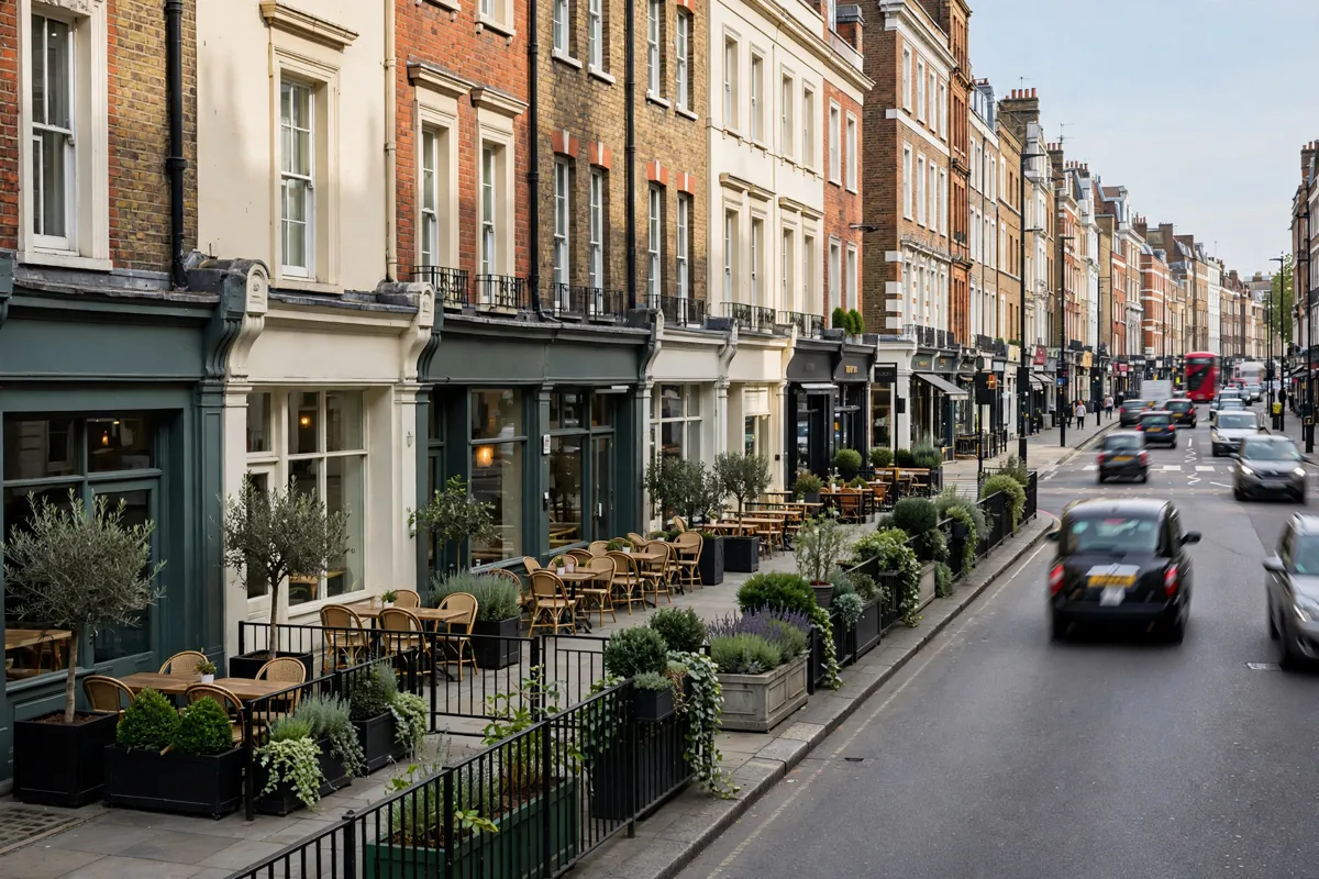
Food and Everyday Stops
Edgware Road’s high street is known for a late-night economy and businesses heavily centred around Middle Eastern food.
Use the street as a food stop while moving between Marble Arch and Marylebone Flyover, or connect it with Praed Street as part of a wider walk around Paddington and Bayswater. The area’s high streets sit within a 20-minute walk of each other, according to Westminster City Council.
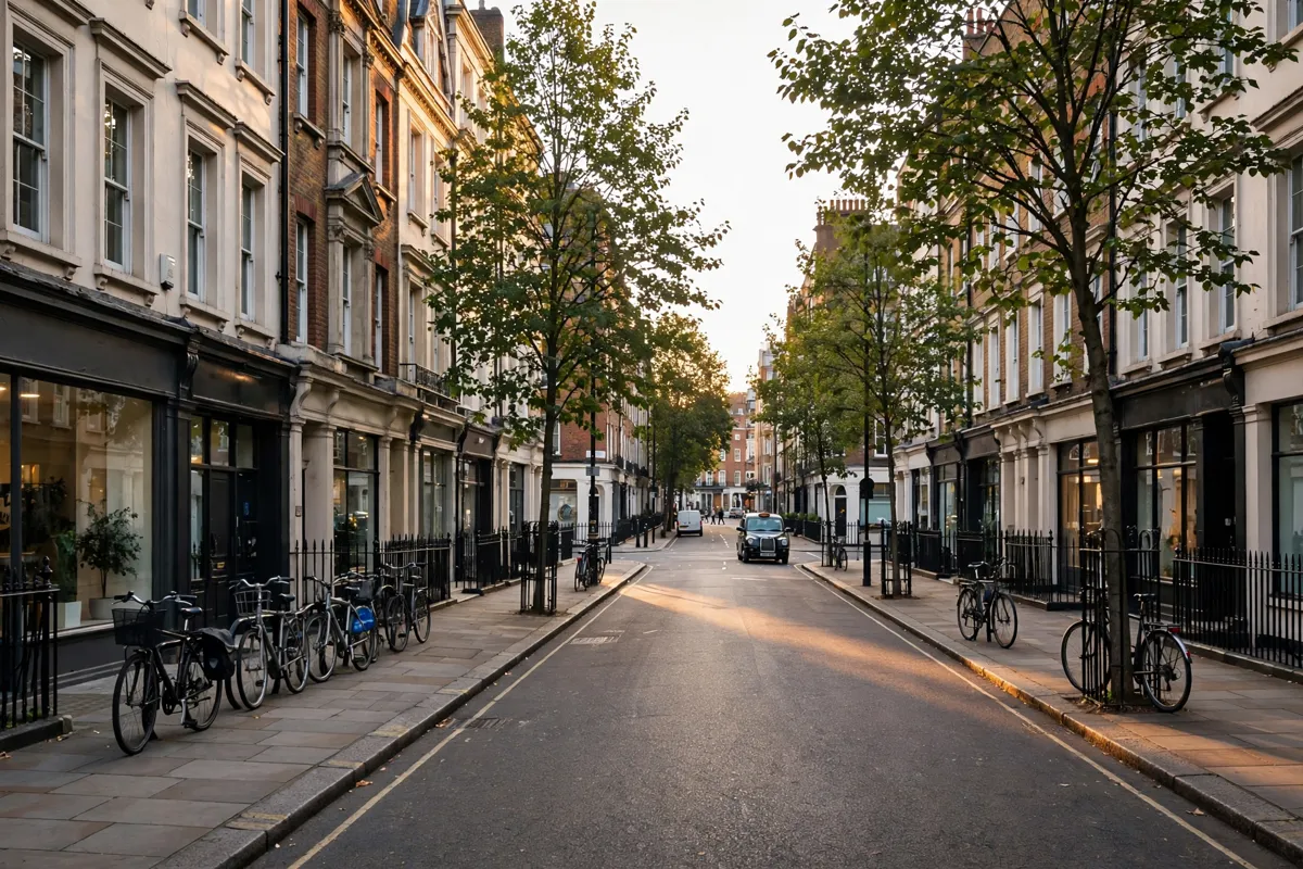
Walks Toward Paddington and Marylebone
Tube, bus and rail services connect Edgware Road with neighbourhoods across the city, and this guide to London public transport explains the main options for getting around.
FAQs
Are there two Edgware Road Underground stations?
Yes. One serves the Bakerloo line; the other serves the Circle, District and Hammersmith & City lines.
How far is Paddington from Edgware Road?
A published walking route between Edgware Road and Paddington is about 0.4 miles and passes Praed Street and St Mary’s Hospital.
What is Edgware Road known for?
It is a Westminster high street with a late-night economy and businesses heavily centred around Middle Eastern food.
Where can I find more about Paddington rail connections?
Paddington Station’s rail connections make it a useful hub for journeys from the neighbourhood.